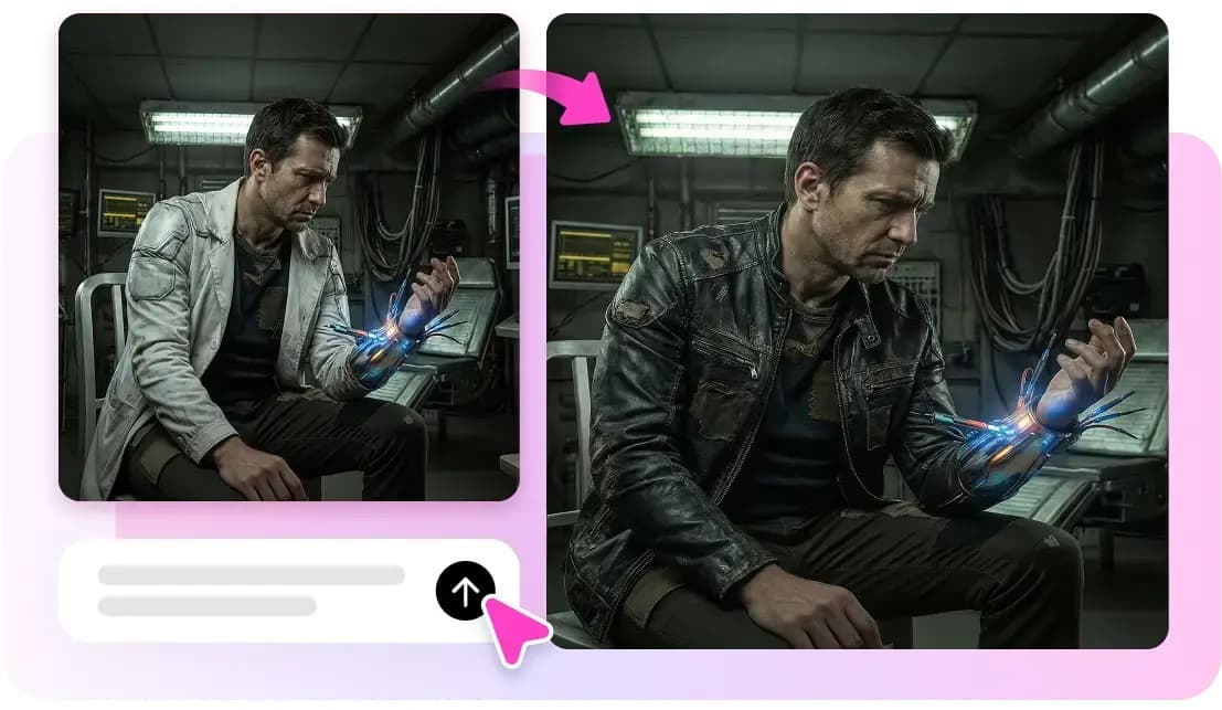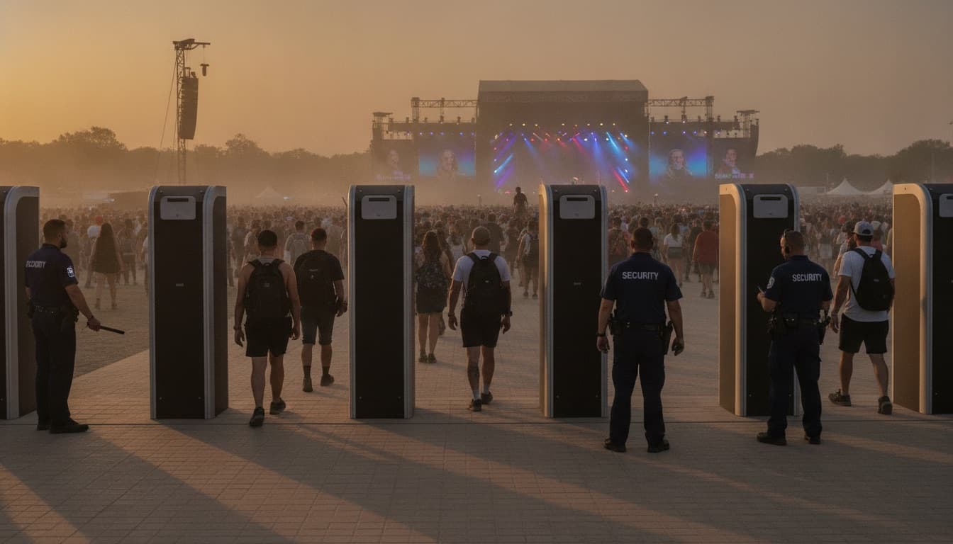
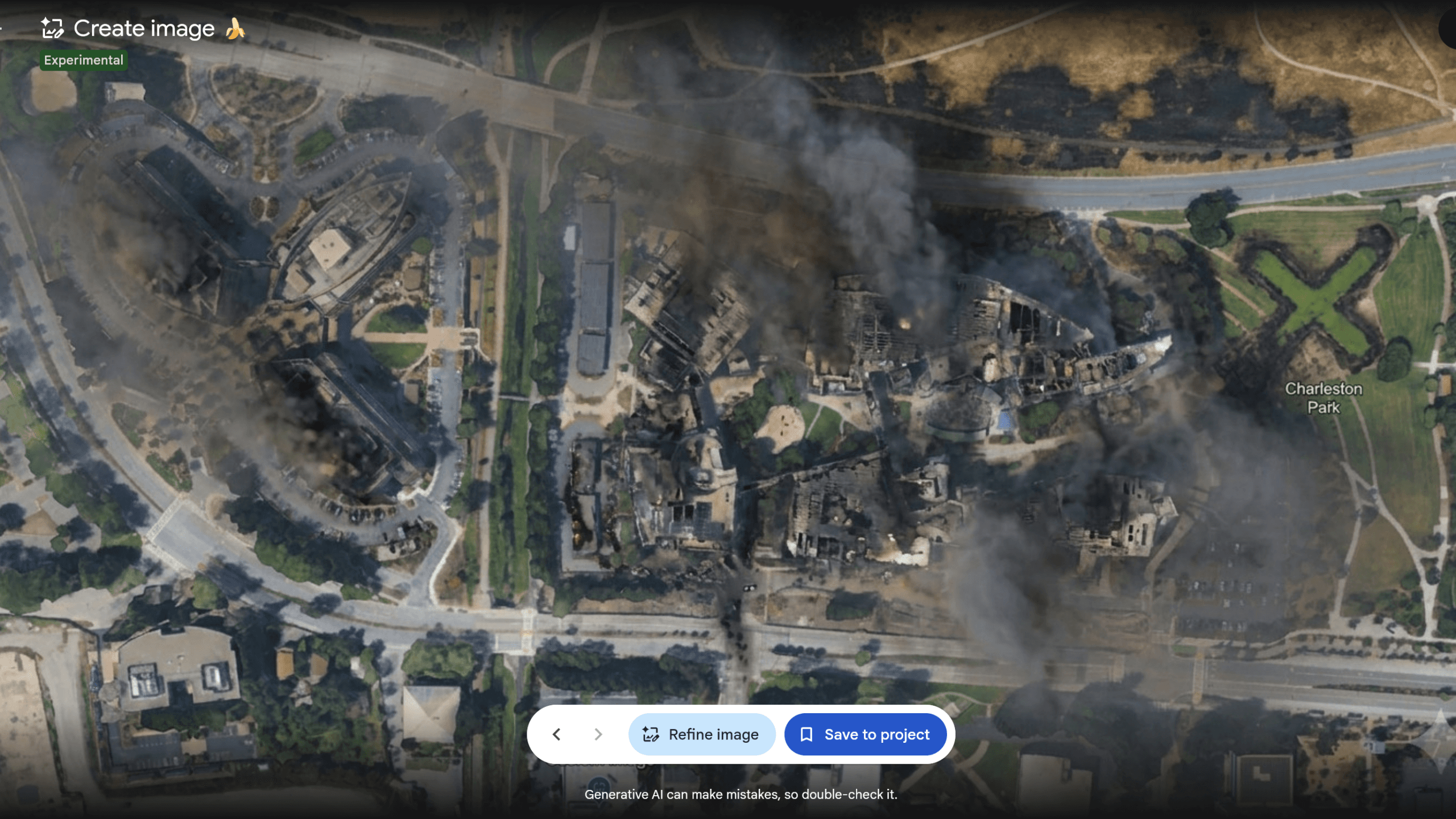
Google recently launched a new AI feature in Google Earth that could create fake satellite images, but they quickly retracted it after researchers and observers raised concerns about misinformation risks.
What Happened
This feature utilized Google’s Gemini AI, a family of large language models, allowing users to generate photorealistic aerial views of real locations. CNET reported that a reporter managed to place a dream home in New York’s Central Park, which might sound harmless. However, this same technology could easily create images suggesting a military base was constructed somewhere it wasn’t or that a forest had been cleared when it actually hadn’t.
Google launched the feature but quickly reversed course. Ars Technica bluntly questioned, “What on earth is Google doing?”
The rapid rollback indicates that someone within Google, or perhaps many external voices, flagged the issue promptly. Fake satellite imagery poses a real threat, sitting at the crossroads of two major issues: AI-generated deepfakes and open-source intelligence (OSINT), which involves gathering information from publicly accessible sources like satellite maps.
Why Satellite Images Are Different
People generally approach fake photos of individuals with skepticism. In contrast, satellite images tend to carry a level of credibility. Viewers often consider them as solid evidence. They appear in news stories, courtroom arguments, scientific papers, and military briefings. A convincing fake aerial image of a location could be manipulated to suggest something occurred that didn’t, or vice versa.
Consider this: a fake photo of a celebrity at a party might cause embarrassment if discovered. Meanwhile, a fake satellite image showing troop movements or a disaster could compel governments and journalists to act before anyone thinks to question its authenticity.
Google Earth has built a reputation for presenting the world as it is. Introducing a tool that generates images of what the world might look like undermines the trust people place in it.
Google’s Broader AI Push
This incident comes at a tricky time for Google. The company has been pushing AI features across its products—from sleep tracking in the Nest Hub to camera upgrades in the Pixel 11. However, this Earth feature highlights how quickly AI innovations can backfire when potential risks aren’t fully considered before launch.
This issue partly stems from speed. The race to roll out AI features across platforms like Google, Microsoft, Apple, and Meta has created pressure to launch quickly, sometimes outpacing safety review processes.
| CEO | Sundar Pichai |
|---|---|
| Headquarters | Mountain View, CA |
| Founded | 1998 |
| Ticker | GOOGL |
| Stock Price | $345.88 (+0.68%) |
| Sector | Big Tech |
What This Means
For regular Google Earth users, nothing changes at the moment—the feature is gone. But this situation matters for several reasons.
First, it shows that even Google sometimes fails to consider the implications of AI features before launching them. If you’ve been curious about whether the AI tools in your apps have undergone proper testing, the answer is: not always.
Second, it raises a question that Google will need to address eventually: is there a safe version of AI-assisted satellite visualization? Augmented reality overlays for construction or landscaping could be beneficial. However, the line between “here’s what your backyard might look like” and “here’s a fake image of a military site” runs through the same technology.
Third, for anyone who uses satellite imagery professionally—journalists, researchers, aid workers, urban planners—this serves as a wake-up call. Tools that can produce convincing fake aerial images are now available in mainstream consumer apps. This alters the way satellite photos can be used as evidence.
Community Reaction
“The fact that it got out the door at all is the story. Someone approved this. Multiple someones.”
— Reddit user, r/technology (from community discussion on the Ars Technica coverage)
“I tried it before it got pulled and yeah, it was wild how convincing the results were. Cool tech, completely wrong application.”
— YouTube comment on CNET’s coverage of the rollback
What To Watch
- Google’s official explanation: The company hasn’t provided a detailed public statement on why the feature launched or what led to its removal. A formal response would clarify whether this was a rogue experiment, a misjudgment of user needs, or a failure of internal review.
- Whether the feature returns in a modified form: A restricted version—limited to clearly labeled “concept” or “planning” views—could potentially mitigate some misinformation risks while retaining legitimate uses.
- Regulatory attention: The EU’s AI Act and ongoing discussions in the U.S. about synthetic media are evolving issues. A notable incident involving fake satellite images from a Google product could speed up policy discussions about disclosure requirements for AI-generated geographic imagery.
- Competitor moves: Microsoft’s Bing Maps and Apple Maps also have their own AI integration plans. Watching how they respond to Google’s misstep will be interesting.
Sources

Maya Torres
Maya Torres is the Consumer Tech Editor at Explosion.com with 7 years covering product launches for major technology publications. She has reviewed over 300 devices across smartphones, laptops, wearables, and smart home products. Maya specializes in translating spec sheets into real-world buying advice and attends CES, MWC, and Apple keynotes as press. Her reviews focus on helping readers decide what to buy, not just what specs look good on paper.