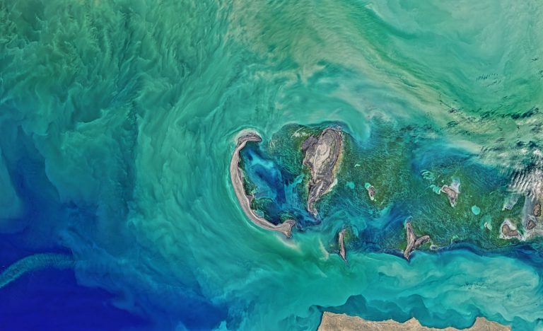
Due to recent advances in high-resolution satellite imagery, we have developed a greater understanding of land use. These images provide detailed views of the Earth’s surface and have transformed a wide range of industries. This post discusses key applications of high-resolution satellite images in land use management.
Agricultural Advancements
High-resolution satellite imagery is of great use in the modern agriculture sector. It enables precise monitoring of crop health, irrigation needs, and soil conditions. This data helps farmers make informed decisions and maximize yields while minimizing waste. These images also aid in the early detection of pest infestations, allowing for prompt mitigation.
These images allow farmers to allocate resources optimally, such as where fertilization or extra water is needed. This also saves resources while encouraging sustainable practices. Consequently, it enhances productivity and aids environmental protection efforts.
Urban Planning and Development
Satellite imagery, especially high-resolution satellite images, is important for urban planning. They give planners clear and current images of what is already built and where land is available. This information is necessary to make informed decisions in land planning and development.
Satellite images help flag potential risks, such as flood-prone areas or areas lacking good connectivity. This enables planners to design and develop plans that can respond to these challenges and help make growth sustainable. In addition, analysis of historical photographs will allow planners to study the patterns of urban expansion and then facilitate its future planning and minimize its environmental impacts.
Environmental Conservation
Conservationists use these images to track ecosystems, deforestation, and wildlife habitats. This information is vital for monitoring the effects of human intervention and natural phenomena on the environment. Satellite imagery makes it possible to identify illegal activities, such as timber harvesting or mining, and the presence of people in prohibited areas. This allows authorities to respond quickly and enforce regulations to protect fragile ecosystems. Moreover, these pictures monitor vegetation cover changes, providing information on the impact of climate change and benefitting reforestation programs.
Disaster Management
High-resolution satellite images are beneficial in disaster management. They provide near-immediate insights into impacted communities, allowing responders to assess damage and allocate resources accordingly. Access to this data can significantly improve the response time to a flood, wildfire, or earthquake.
Using satellite imagery can help locate the safest areas and escape routes, leading to smoother evacuations. After a disaster, these images can be used to map the damaged infrastructure and identify and prioritize buildings that need to be rebuilt. This means communities can heal quicker and increase their resistance to the next disaster.
Infrastructure Monitoring
Infrastructure maintenance is an important element of economic stability and public safety. Infrared satellite imagery helps monitor highways, bridges, and other key infrastructure. These images are utilized by engineers to alleviate wear and tear, identify impending hazards, and organize maintenance.
Monitoring these images regularly can help authorities avoid infrastructure breakdowns and prolong the lifespan of vital assets. Acting early saves money and keeps the public safe. It also enables effective resource allocation, reduces disruptions, and increases the efficiency of operations.
Land Use Policy and Management
High-resolution satellite images provide a major overview of land ownership, helping policymakers identify areas for development, protection, or agriculture. This is key for reconciling the need for economic development with protecting the environment.
These images play a decisive role in monitoring compliance and adherence to zoning regulations and land use plans. They provide accurate and clear data, which creates accountability and allows for informed decisions to be made regarding sustainable development and sustainable resource management.
Conclusion
High-resolution satellite imagery is an essential component in land management. Satellite observations of Earth are generated and processed to extract detailed information, which is useful for and provides a better understanding of several sectors, such as agriculture, disaster management, urban planning, environmental conservation, and land use policy and management. These images facilitate better decisions, which aid sustainable practices and results.
0 Comments